
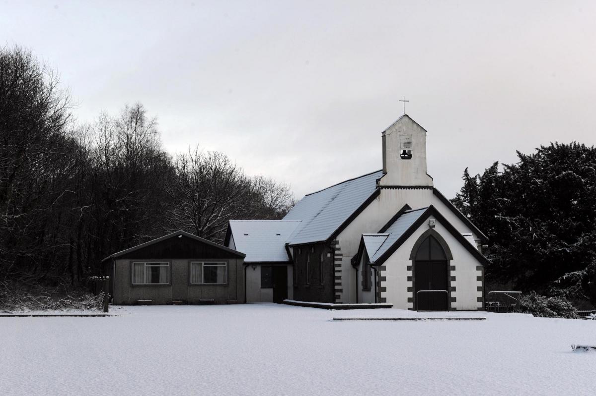
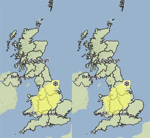
THERE is a yellow warning for snow in Gwent, with the Met Office saying temperatures will fall to -1 °C.
Up to 3-8 cm of snow is expected to extend across much of Wales on Tuesday evening and night, persisting into Wednesday morning. 10-15 cm could fall on high ground. The snow should ease gradually through Wednesday morning.
It will remain cold today with some bright or sunny spells. However cloud will increase throughout, with outbreaks of sleet and snow spreading in from the Irish Sea throughout the day. The maximum temperature should be 5 °C.
Tonight will see Gwent remaining cold with outbreaks of sleet and snow. These could turn persistent iespecially in nothern Gwent, mainly over the hills. The minimum temperature should be -1 °C.
Wednesday will see wintry showers gradually ease during the morning, with a dry but often cloudy afternoon following. It will stay cold, with the best of any sunshine likely later in the day. The maximum temperature should be 6 °C.


Comments: Our rules
We want our comments to be a lively and valuable part of our community - a place where readers can debate and engage with the most important local issues. The ability to comment on our stories is a privilege, not a right, however, and that privilege may be withdrawn if it is abused or misused.
Please report any comments that break our rules.
Read the rules here